Maritime navigation and Natura 2000
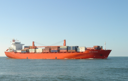
Shipping traffic on the North Sea follows a network of established and prescribed sea routes. They cover around six per cent of the Dutch section of the North Sea (3,600 km²).
Designated Natura 2000 areas experience no noteworthy effects from shipping in the form of surface area loss, emissions or disruption due to noise, movement or light either above or below the water on established routes.
This has nothing to do with the overall task of increasing sustainability facing shipping due to the pressure on the environment of the North Sea. 20 per cent of the nitrogen deposited across the land and sea territory of the Netherlands, for instance, comes from emissions from maritime navigation on the North Sea.
The Royal Association of Netherlands Shipowners (KVNR) has set itself the goal of reducing emissions of greenhouse gases (CO2) by 70 per cent in 2050. Advances are also being made in tackling emissions of nitrogen oxides (NOx) and the percentage of sulphur in marine fuel. In addition, there are ongoing developments to build innovative vessels that are entirely emissions-free. Given the largely international character of maritime navigation, plus the relatively long service life of sea vessels, these transition processes are not proceeding quickly.